
Trails
Trails and Maps
Explore Livermore's extensive network of trails connecting neighborhoods, parks, open spaces, and recreation destinations throughout the community.
Whether you're planning a walk, bike ride, run, or hike, LARPD offers a variety of paved multi-use trails and natural surface trails for residents and visitors to enjoy.
Use the maps and resources below to explore existing trails, discover open space destinations, and learn about future trail connections planned throughout the Livermore area.
Existing and Proposed Trail and Regional Context Map

LARPD Parks and Facilities

Trails Map
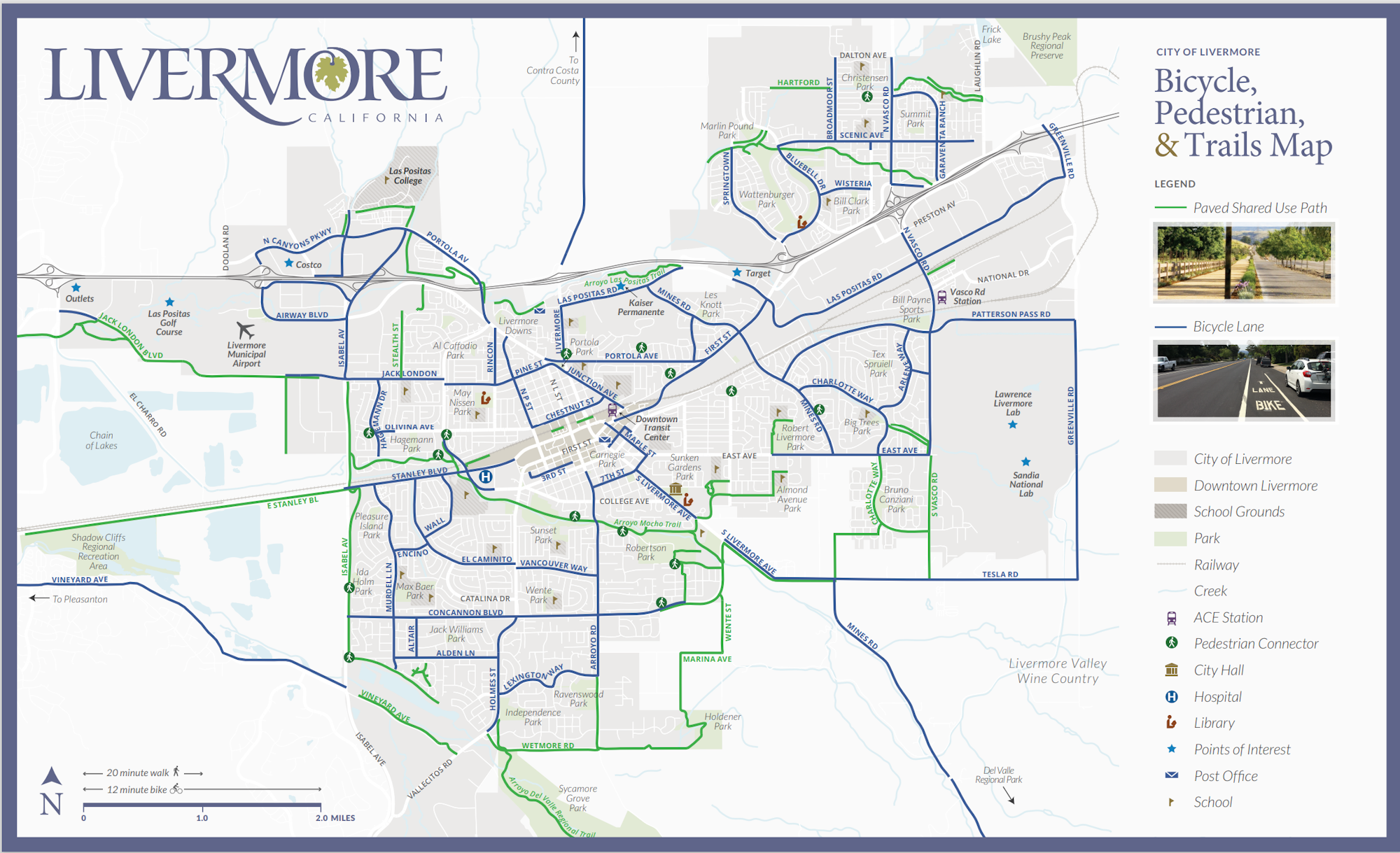
We encourage you to explore the great outdoors of Livermore and all the wonderful natural environments we have to offer.
Trail Planning & Development
LARPD works with the City of Livermore and regional partners to maintain, improve, and expand trail connections throughout the community.
The 2026 Parks, Recreation, and Trails Master Plan identifies existing trails, proposed connections, and priorities for future trail development.
Learn More: Parks, Recreation, and Trails Master Plan

